Boundary Survey with Sub Division
A boundary with plot division survey, conducted using total station and DGPS (Differential Global Positioning System), involves the use of advanced surveying equipment to accurately determine and subdivide property boundaries.

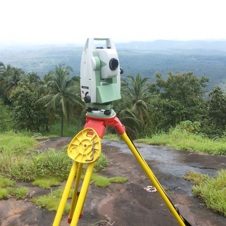
Topographic with Contour Mapping
Topographic mapping, often referred to as topographic surveying, involves the creation of detailed and accurate maps that depict the physical features and characteristics of a land area. Contour mapping is a key component of topographic mapping, and it focuses on representing the elevation changes across the landscape.

Road Survey with Quantity Calculation
Road survey with quantity calculation is a process used in civil engineering and construction to determine the measurements and quantities of materials required for road construction or maintenance
Road survey with quantity calculation is a fundamental process in road construction and maintenance, providing the essential data and estimates required for project planning, cost estimation, and resource management.

Building Survey
At Scanland Survey and Engineering LLP, we are dedicated to providing a comprehensive range of services tailored to meet the specific needs of engineers, architects, and contractors. Our mission is to support your projects by delivering expertise, precision, and innovative solutions.
Our surveys and assessments help architects and contractors make informed decisions, whether in the planning stage or during construction, by providing accurate as-built documentation and condition reports.
Pipeline Survey
we specialize in providing comprehensive Pipeline Survey Services designed to meet the diverse needs of the energy, utility, and infrastructure industries. Our commitment to precision, safety, and environmental responsibility ensures that your pipeline projects are planned, constructed, and maintained to the highest standards
We conduct thorough route surveys to determine the optimal path for pipeline installation, considering topography, land use, and environmental impact.
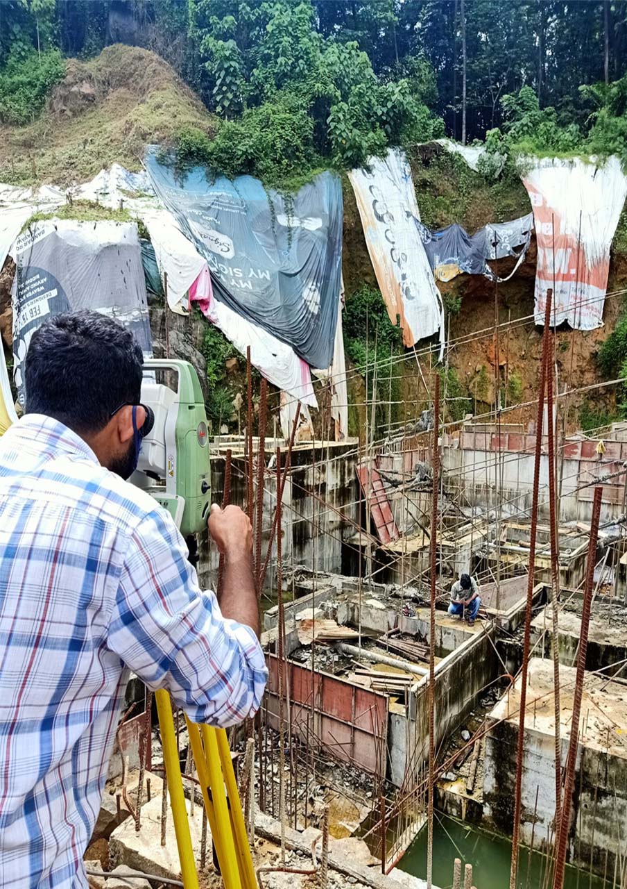
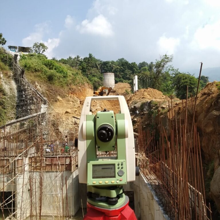
Construction Staking
we offer expert Construction Staking services, underpinned by advanced total station technology. Our commitment to precision, efficiency, and excellence ensures that your construction project stays on course, from groundbreaking to completion.
Our experienced surveyors employ state-of-the-art total stations to precisely mark the locations of footings, excavation points, utilities, Bolt and other critical elements, ensuring accurate alignment and positioning.

Drone Survey
we offer cutting-edge Drone Survey Services, powered by state-of-the-art unmanned aerial vehicles (UAVs). Our commitment to precision, efficiency, and innovation ensures that you have access to a new dimension of data and imagery for various industries and applications.
Our drones capture high-resolution aerial imagery to create precise topographic maps, aiding in land development, engineering, and GIS projects.

DGPS Survey
we offer state-of-the-art DGPS Survey Services, utilizing cutting-edge Differential Global Positioning System (DGPS) technology. Our commitment to accuracy and efficiency ensures that your surveying and mapping needs are met with the highest precision.
We using high-precision GNSS (Global Navigation Satellite System)Trimble SPS 986 receiver designed for use in various surveying and mapping applications. It's known for its accuracy and reliability, making it a popular choice for professionals in the geospatial industry.

Plot and Road Design Services
we specialize in providing comprehensive Plot and Road Design Services, catering to the evolving needs of infrastructure and land development projects. Our commitment to precision, safety, and sustainable design ensures that your plots and roads are planned and constructed to the highest standards.
We plan and design efficient road networks, considering factors such as traffic flow, accessibility, and urban development, Our team designs residential plots that optimize land use, ensuring efficient land division and infrastructure integration.